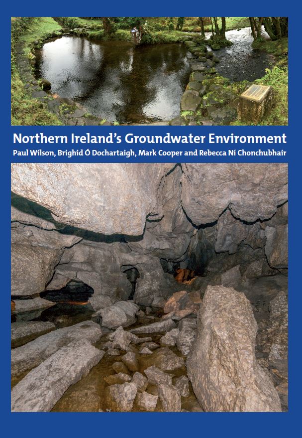
Northern Ireland's Groundwater Environment
Groundwater is an essential, yet usually hidden, natural resource for Northern Ireland. Until the 20th century, groundwater from shallow wells and springs provided the main water supply for many settlements and it continues to quietly provide a continuous supply of baseflow to rivers and streams across Northern Ireland, keeping them flowing and maintaining aquatic ecosystems during dry spells. This vital ecosystem service will become even more important in the future, with climate change predicted to cause more frequent and longer dry periods.
Groundwater has made a significant contribution to the industrial and economic development of Northern Ireland: some settlements developed where they are because of the presence of local groundwater sources that provided them with reliable water supplies.
Advancements in drilling technology in the late 18th century allowed deep boreholes to be drilled into bedrock aquifers such as the Sherwood Sandstone Formation in the Lagan Valley, contributing to the industrial boom of late Victorian times. At the start of the 20th century, Belfast was the largest exporter of bottled carbonated water in the world, all of which came from groundwater pumped from the Sherwood Sandstone aquifer. Northern Ireland’s geology is exceptionally diverse for such a small region, with many different types of metamorphic, igneous and sedimentary rocks and superficial deposits, ranging in age from 600 million years to less than 10 000 years.
The groundwater environment of Northern Ireland is controlled in large part by its geology and is also highly varied. Different rock types form distinct aquifers, distinguished by characteristic geological and hydrogeological features that control how groundwater is stored, how it flows and its chemical quality. Across Northern Ireland, there are consistently highly productive aquifers in very different geological environments, including superficial glaciofluvial sand and gravel, Cretaceous chalk, Permian and Triassic sandstones and Carboniferous limestone. Other rock types, such as Palaeogene basalts, can also provide high-yielding groundwater supplies in some places, but these tend to be the exception and are generally less productive aquifers. The most productive and heavily used aquifers have been relatively well studied, but there is still much about the hydrogeology of Northern Ireland that is not yet fully known because it is still to be explored. Northern Ireland has a temperate, maritime climate, with annual average rainfall varying from just under 800 mm in low-lying, southern and eastern areas to about 2000 mm in upland, western areas. In all areas, the wettest months are in the winter, between October and January, and the driest months are in the late spring and early summer. Evapotranspiration rates are relatively low, ranging from about 32 to 44 % of annual rainfall (Mills, 2000), so that potential recharge – the infiltration of rainfall to aquifers – is generally high. Groundwater levels in Northern Ireland’s aquifers follow a typical overall seasonal pattern of winter rise, when recharge is highest, and summer fall, when recharge is lower. Recent high-frequency groundwater level monitoring has shown some aquifers also receive significant recharge during summer months, after high-intensity rainfall events.
This book presents a regional overview of the current understanding of Northern Ireland’s groundwater environment, hydrogeology and groundwater resources. It is based on the latest hydrogeological data and, for each aquifer, provides a quantitative summary of physical properties and groundwater chemistry (derived from statistical analyses of the available data) and a graphical conceptual hydrogeological model. Accompanying this book is a 1:250000-scale dataset that presents summary physical and chemical properties of each aquifer.
Simple
- Date (Creation)
- 2023-09-18
- Citation identifier
- http://gsni-data.bgs.ac.uk/geonetwork/srv/resources/246fc03f-44aa-4178-b145-a0745aabd52a
- Point of contact
-
Organisation name Individual name Electronic mail address Role Geological Survey of Northern Ireland
Publisher
- Maintenance and update frequency
- Not planned
- Metadata author
-
Organisation name Individual name Electronic mail address Role Geological Survey of Northern Ireland
Custodian
-
GEMET - INSPIRE themes, version 1.0
-
-
Geology
-
- Keywords
-
-
Groundwater
-
Hydrogeology
-
- Access constraints
- Other restrictions
- Other constraints
- INSPIRE: no limitations
- Use constraints
- Other restrictions
- Other constraints
- INSPIRE: no conditions apply
- Spatial representation type
- Text, table
- Denominator
- 250000
- Language
- English
- Character set
- UTF8
- Topic category
-
- Geoscientific information
- Code
- NIR
))
- Begin date
- 1948-01-01
- End date
- 2022-12-31
- Unique resource identifier
- EPSG:29902
- Distribution format
-
Name Version PDF
- OnLine resource
-
Protocol Linkage Name WWW:LINK-1.0-http--link
https://nora.nerc.ac.uk/id/eprint/535562/ Northern Ireland's Groundwater Environment
WWW:DOWNLOAD-1.0-http--download
https://gsni-data.bgs.ac.uk/geonetwork/srv/api/records/246fc03f-44aa-4178-b145-a0745aabd52a/attachments/ConceptualModels.zip Conceptual Models
- Hierarchy level
- Non geographic dataset
Conformance result
- Statement
-
This book is published in print and PDF formats by the Geological Survey of Northern Ireland.
Metadata
- File identifier
- 246fc03f-44aa-4178-b145-a0745aabd52a XML
- Metadata language
- English
- Hierarchy level
- non geographic dataset
- Date stamp
- 2023-11-08T08:26:53
- Metadata standard name
-
ISO 19115:2003/19139
- Metadata standard version
-
1.0
- Metadata author
-
Organisation name Individual name Electronic mail address Role Geological Survey of Northern Ireland
Point of contact
Overviews
Spatial extent
)))
Provided by